The duties of the Wilson County GIS Coordinator are to assist each department within the county and the general public including businesses with mapping requests and data analysis using GIS features and tools.
More detailed duties are as follows:
Deciphers all deeds and instruments filed on a weekly basis pertaining to changes to all real estate properties, this would include death certificates, ownership transfers, transfer on deaths deeds, vacation orders, city ordinances, surveys, easements and new subdivision plats. Upon researching these instruments all records are changed and updated accordingly.
Maintains GIS data for agriculture land use and provides figures and assistance to the Appraiser’s Office. This would include canvasses of aerial images for ag purposes, researching and figuring data annually from irrigated land reports provided by the Kansas Water Association. Assisting the county appraiser with delineations regarding CRP contracts, rock quarries, along with keeping soil data up to date and current.
Determines and provides 911 addresses for new locations upon request. Maintains the 911 data used for dispatch software by keeping up with changes to road centerlines and address points.
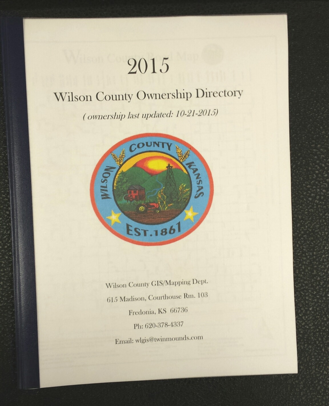
Maps are available to the county taxpayers at little to no cost, Please stop in or contact the office for more information.
Links:
All about the Public Land Survey System
Beacon Mapping ( ONLINE MAPPING )
Common Questions:
Q: Can the County show me where my property lines/markers are?
A: The county mapper/cartographer is not a land surveyor; our job is to draw out your property using computerized mapping tools to the best of our abilities based on your recorded deed and the description that shows on that deed. Our calculations are for taxation purposes only! It is NOT a survey. If you want to know precisely where your property lines are in the real world you need to get in touch with a certified land surveyor. If you need help locating a surveyor please call the County GIS Coordinator for help.
_____
Q: Can I get a map?
A: Land owners requesting a small map of their property are not charged, we can produce alot of different maps and have a large amount of data, so if you can think it, odds are it can be produced. Please reference the Map Pricing guide above for map prices. These prices are the same whether the map is emailed or printed. The fees collected are used to help recover costs of printing supplies and software used to generate maps.